| Info |
|---|
Multi regions specify areas for the floor and tracking floor plans. |
New multi regions can be added from the Map charts geodata screen:  Image Modified Image Modified
Specify name of the newly added multi region: 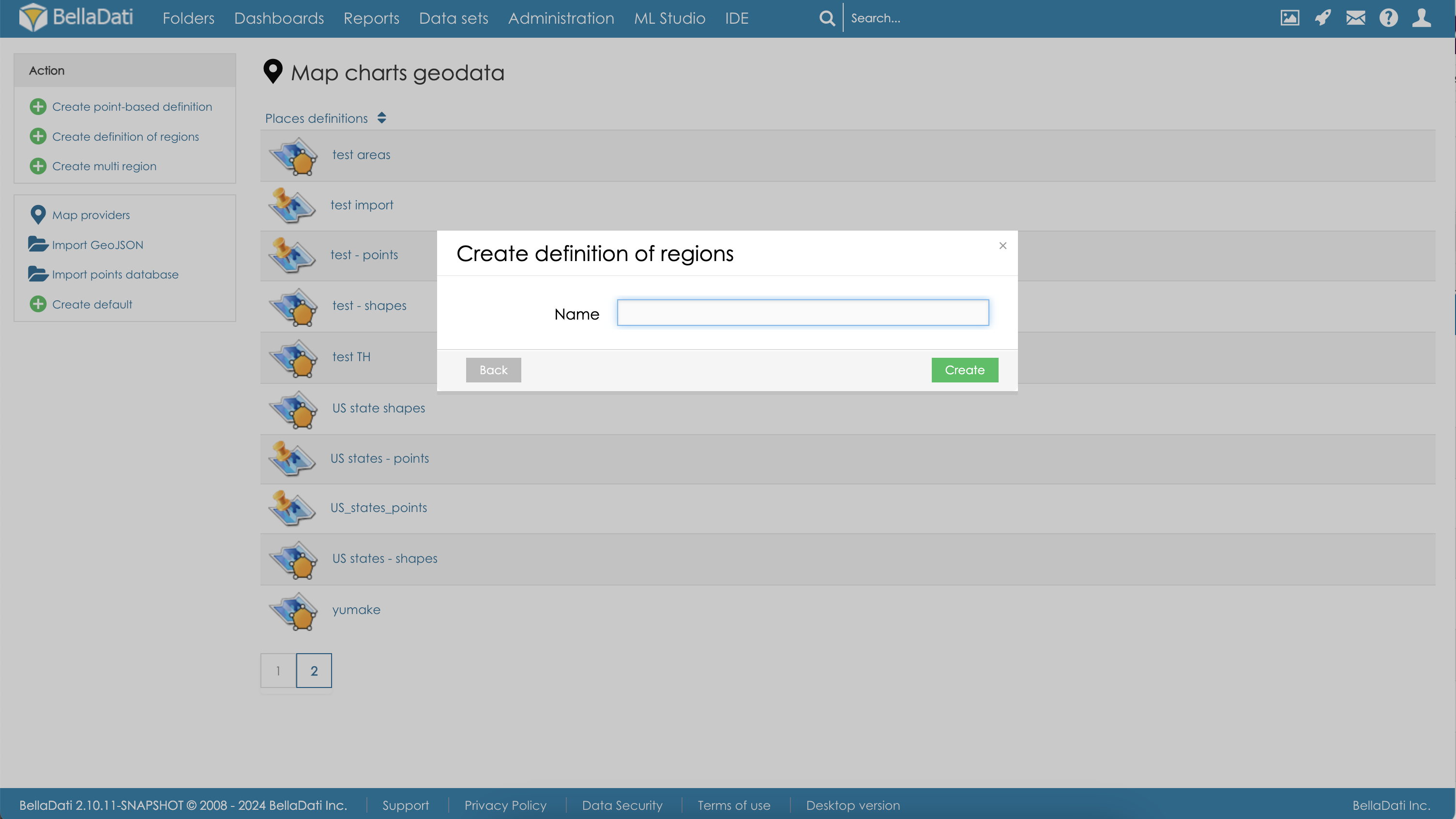 Image Modified Image Modified
The multi regions configuration screen contains the following sections: - Background data definition - select available image provider
- GeoJSON - definition of the available regions, this section is automatically generated. You don't need to make any changes in it.
- Map with controls for adding and editing the floor plan regions
 Image Modified Image Modified
Adding and editing multi regionsMap controls are used to manage the multi regions. The following controls are available: | Map control | Usage |
|---|
Create multi region  Image Modified Image Modified
| This action will allow you to click inside floor plan and configure a custom multi region. Click the button Finish to apply your changes. | Create rectangle  Image Modified Image Modified
| This action will allow you to create a new rectangle inside the floor plan. | Marker  Image Modified Image Modified
| When this action is active, you can add new markers into the floor plan | Color picker  Image Modified Image Modified
| Specifies color of the newly created multi regions. You can change the existing color in Edit mode. | Name  Image Modified Image Modified
| Specifies name of the newly added region or point. Name will be displayed in the floor plan. You can edit the existing names in Edit mode. | Edit mode  Image Modified Image Modified
| Use this action to enable the edit mode. You can freely change regions definition. To edit region color or name, select the region and set color or/and name. Click the button Save to apply the changes. | Delete  Image Modified Image Modified
| Use this action to enable the Delete mode. When in Edit mode, regions and markers that you click will be deleted. Click the button Save to apply the changes. |
Available floor plan regions can be applied to the floor tracking view settings. |