BellaDati supports data visualisation on geo maps by using two options:
|
GEO Data Management
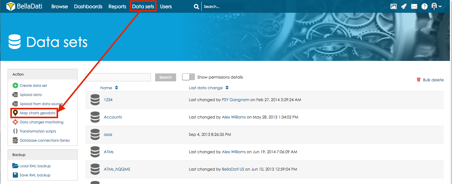
In the Data set menu screen click on the Map charts geodata to manage GEO points, regions and map providers.

Available actions on Map charts geodata screen are:
- Create point-based definition
- Create definition of regions
- Map providers: Use your custom GEO map provider - see Managing Map providers for more information.
- Import GeoJSON: Allow to import predefined geo regions from file using GeoJSON format. See Importing GEO Regions (GeoJSONs) for more information.
- Import points database: Allow to import predefined geo points from CSV file in structure: point name, longitude, latitude, additional names. See Importing GEO Points definition for more information.
- Create default: Will create default set of regions and points (countries, world capital cities, US states). That are delivered by default as part of BellaDati installation.
