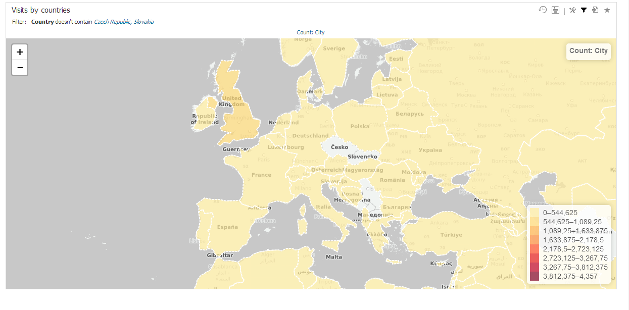
Geo Regions are used on maps to highlight certain part. Geo Region can be for example country, state or district. By using association between data set and geo regions, it is possible to display information on a map in a form a shape.
Each GEO region is a shape defined by three or usually more points specified by latitude and longitude coordinantes. Standardized GeoJSON format is supported to simplify importing these definitions. Name of region or associated drill-down values can be used to match drill-down members in the report view. You can associate more drill-down values to single GEO region definition. Upper and lower case are distinguished (eg. Canada, canada, CAN are different values).
Following parameters are manageable for GEO regions:

BellaDati is using standard GeoJSON specification. Therefore it is easy to prepare your own GeoJSONs or use predefined GeoJSONs from another source. Each GeoJSON contains number of definitions, one for each region (country, state etc.). Each definition consists of several parts:
This is structure of a basic definition of two shapes:
{"features":[
    {
        "geometry":{
            "coordinates":[[[-109.080842,45.002073],[-105.91517,45.002073],[-104.058488,44.996596],[-104.053011,43.002989],[-104.053011,41.003906],[-105.728954,40.998429],[-107.919731,41.003906],[-109.04798,40.998429],[-111.047063,40.998429],[-111.047063,42.000709],[-111.047063,44.476286],[-111.05254,45.002073],[-109.080842,45.002073]]],
            "type":"Polygon"},
        "type":"Feature",
        "properties":{
            "names":["WY","US-WY"],
            "name":"Wyoming"}},
    {
        "geometry":{
            "coordinates":[[[-71.503554,45.013027],[-71.4926,44.914442],[-71.629524,44.750133],[-71.536416,44.585825],[-71.700724,44.41604],[-72.034817,44.322932],[-72.02934,44.07647],[-72.116971,43.994316],[-72.204602,43.769761],[-72.379864,43.572591],[-72.456542,43.150867],[-72.445588,43.008466],[-72.533219,42.953697],[-72.544173,42.80582],[-72.456542,42.729142],[-73.267129,42.745573],[-73.278083,42.833204],[-73.245221,43.523299],[-73.404052,43.687607],[-73.349283,43.769761],[-73.436914,44.043608],[-73.321898,44.246255],[-73.294514,44.437948],[-73.387622,44.618687],[-73.332852,44.804903],[-73.343806,45.013027],[-72.308664,45.002073],[-71.503554,45.013027]]],
        "type":"Polygon"},
        "type":"Feature",
        "properties":{
            "names":["US-VT","VT"],
            "name":"Vermont"}}],
"type":"FeatureCollection"} |
You can also create a GEOJSON from a Shapefile. For more information, please see Creating GeoJSON files.
Once the GeoJSON file is ready, user can proceed with import.

On the screen of the particular GEO shape definition user can edit following parameters:
