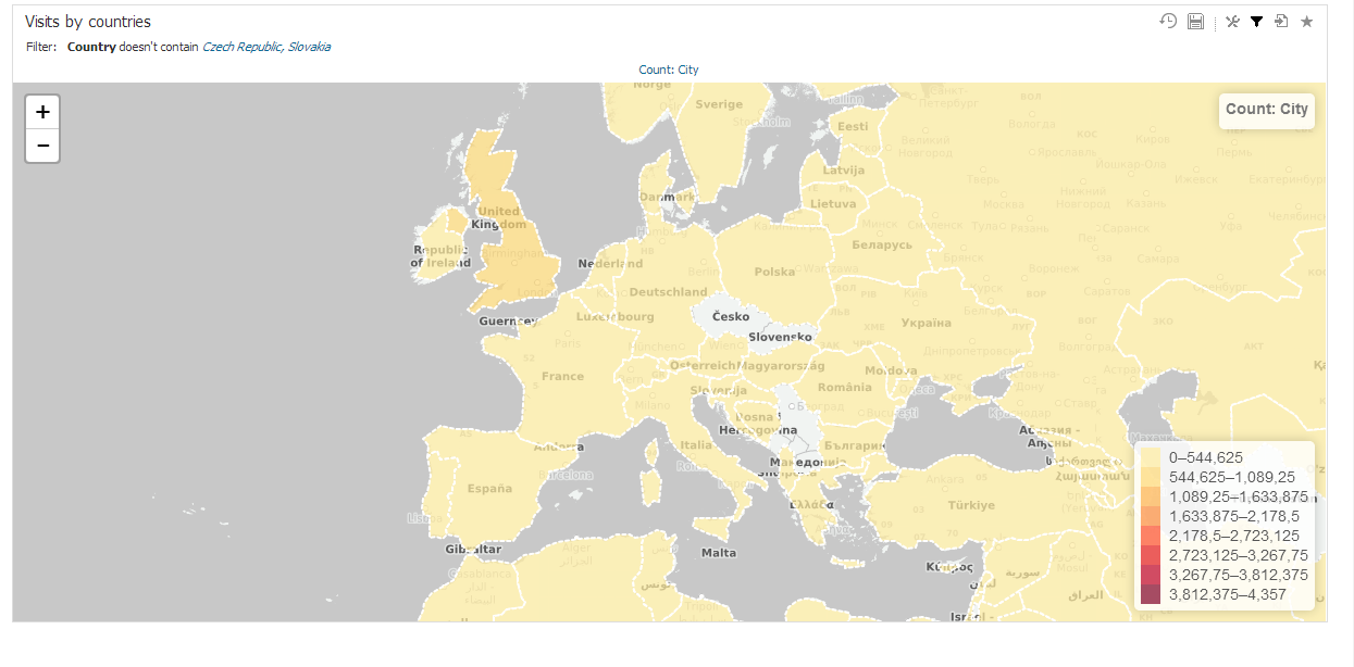
Geo Regions are used on maps to highlight certain part. Geo Region can be for example country, state or district.
Each GEO region is a shape defined by three or usually more points specified by latitude and longitude coordinantes. Standardized GeoJSON format is supported to simplify importing these definitions. Name of region or associated drill-down values can be used to match drill-down members in the report view. You can associate more drill-down values to single GEO region definition. Upper and lower case are distinguished (eg. Canada, canada, CAN are different values).
Following parameters are manageable for GEO regions:
- Definition name
- Region parameters: Name, GeoJSON coordinantes, Associated drill-down values
Overview
Content Tools
